Latest update from the City of Katy Office of Emergency Management
Flash Flood Watch is still in effect until 7:00 PM Tuesday, September 22.
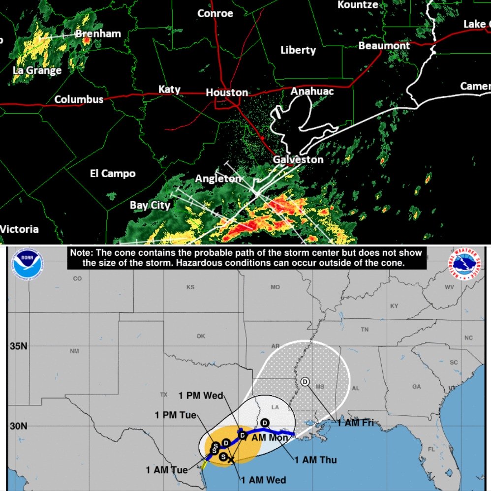
At 700 AM, Tropical Storm Beta is moving toward the west near 6 mph, and this general motion is forecast to continue for the next day or so. A decrease in forward speed and a sharp turn to the north and northeast is expected on Tuesday. On the forecast track, the center of Beta will continue to move toward the central coast of Texas and will likely move inland by tonight. Beta is forecast to remain close to the coast of southeastern Texas on Tuesday.
Latest Local Rainfall Forecast:
Katy 2-3 inches, but there will be the possibility of higher isolated totals under any training feeder bands.
Latest Local Wind Forecast:
Sustained winds of 15-25mph are most likely with a few gusts possibly to 30-40mph in squalls.